
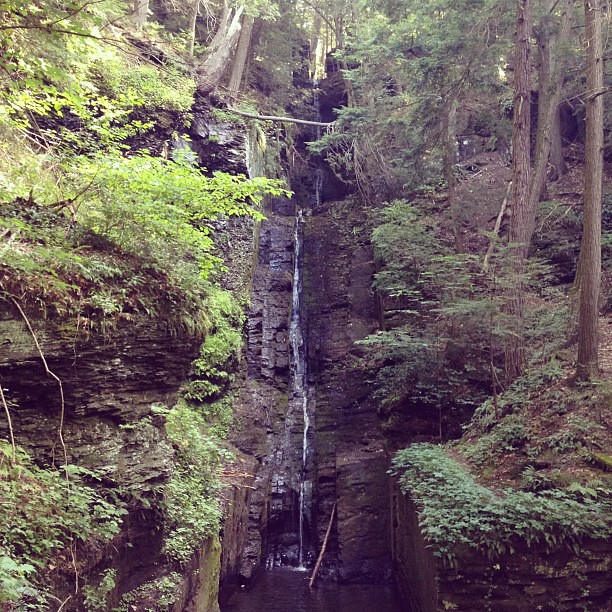
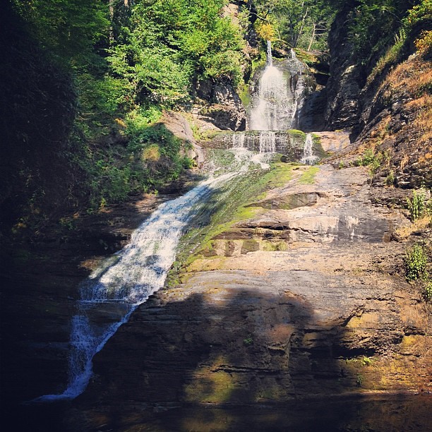
a twitter friend recommended the delaware water gap when i asked for scenic areas near philadelphia. one of the places listed on the national park service website was dingmans falls. (unrelated spoiler: in order to get the best view of the water gap at the southern end of the park, the famous s-curve view, you will need to climb mt. tammany or another mountain, which i did not do — it’s a steep hike and i only brought my chucks.)
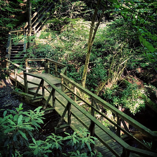
it’s a bit unclear from the park service site how you access the falls because the access road is closed this year (2012), so you will need to park at the gravel lot at the corner of route 209 and johnny bee road, and then walk the mile or so up to the visitor center, and from there to the falls. the road leading off the parking lot is closed off by a gate and there is a barricade on the side blocking the walking path, but you can indeed just walk around and follow the paved road all the way up.
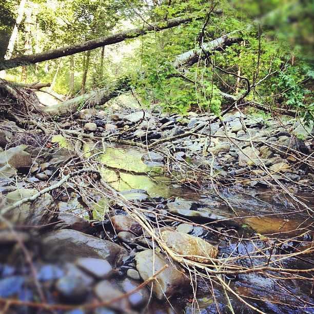
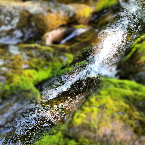
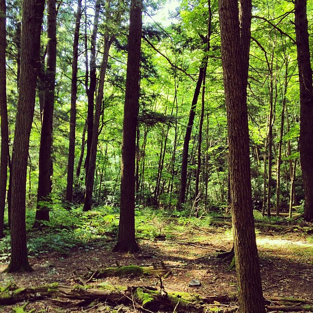
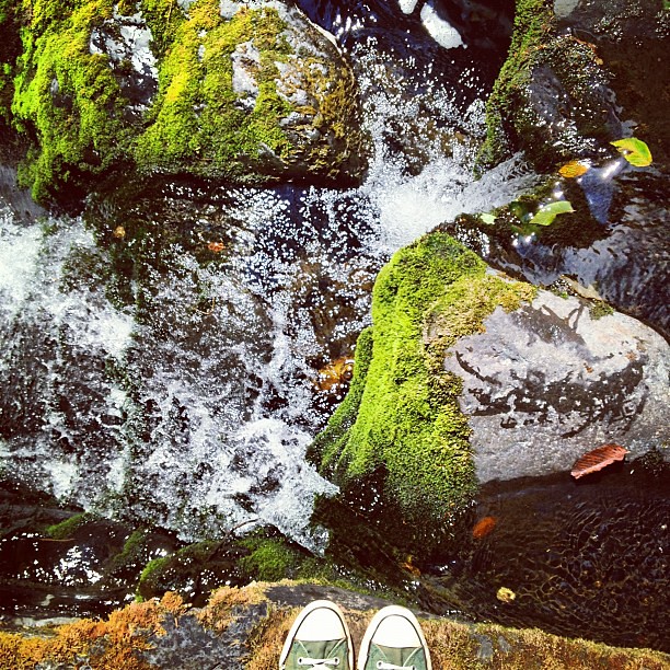
i wasn’t keen on walking that extra mile each way, but i’m glad you are forced to because there were great little side paths that lead you to the water (most of the pictures that you see below).


Leave a comment