

when i picture Bethlehem in my head, i think of inns and mangers, not an overabundance of churches and military checkpoints. to be honest, i didn’t know what at all to expect since it wasn’t until this morning that i really learned about how separated (physically and otherwise) the West Bank really is. for five minutes i tried to get the car’s GPS to get us to anywhere in Bethlehem. i was completely confused as to why it kept complaining no route could be calculated and why it had absolutely no street maps at all of the city. thanks to a combination of road signs and Google Maps, though, we made it to — and through — the checkpoint and to Manger Square. and it wasn’t until we drove up to the checkpoint that it dawned on me: i was entering the West Bank, not really Israel anymore and hence outside of the GPS coverage area. (this is also a side effect of letting someone else do all the planning — i know pretty much nothing.)
sidebar: parking it’s not immediately clear where you can and can’t park — we asked a policeman and he directed us to a lot on the other side of Manger Square (continue driving through it, start to head downhill, and will be on your left, a big lot). parking was free despite there being an attendant — not sure who pays his wages!

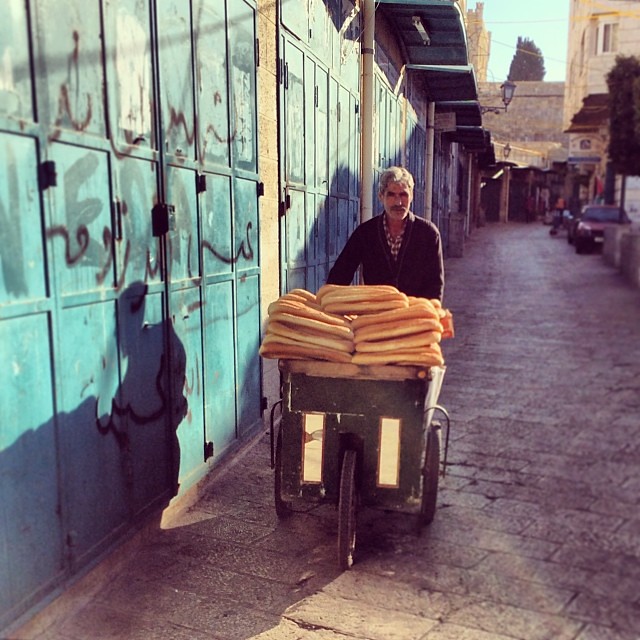
Man selling bread on the way to the Milk Grotto
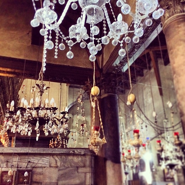
Chandeliers inside the Greek Orthodox portion of the Church of the Nativity
Church of the Nativity
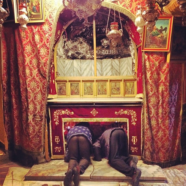
Kissing the Grotto of the Nativity, the site where Jesus is believed to have been born
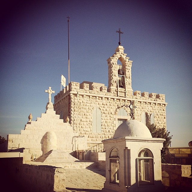
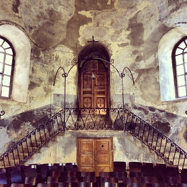
Above the Milk Grotto
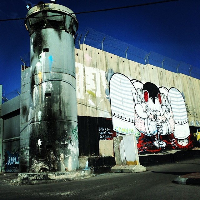
Palestinian side of the West Bank Barrier. If I had more time, I’d love to have done to walk along it and look at the street art.